

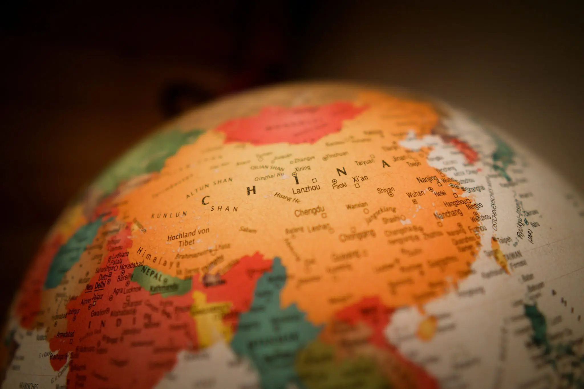
- 中国の中国語名中国(Zhōngguó)は、文字どおり「真ん中の国」を意味し、中国の地図にはこの中心的な世界観が表れています。
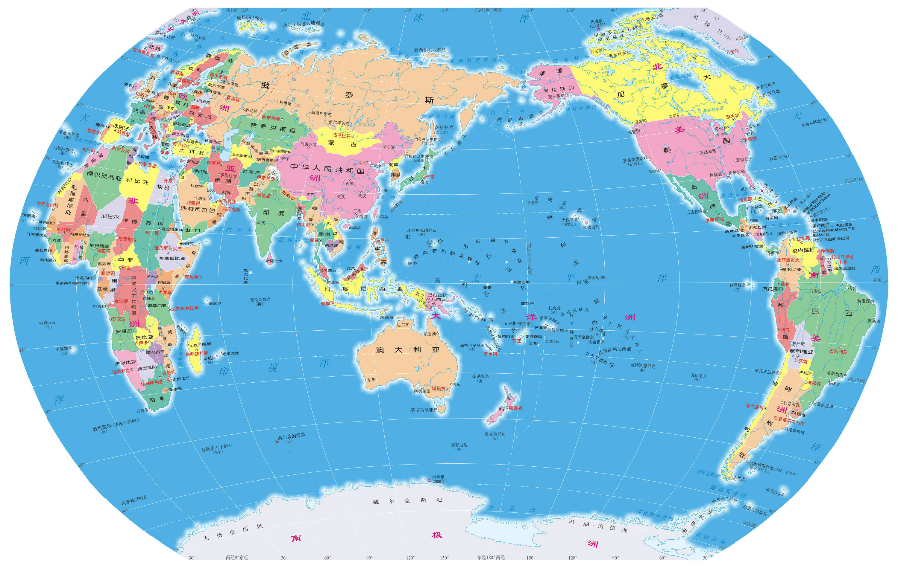
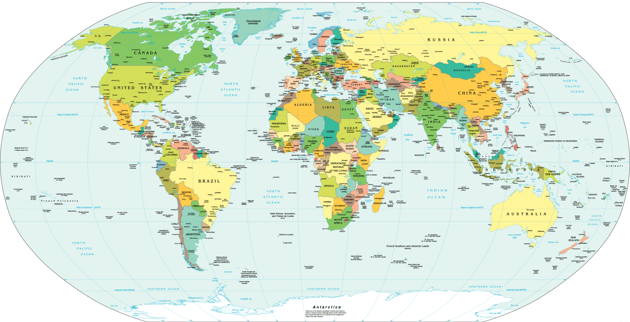
- 中国の世界地図は通常、中国が中央付近に配置されますが、西洋の地図はヨーロッパとアフリカを中心にすることが多いです。
- 現代の中国の地図には、南シナ海、尖閣諸島(中国名:釣魚島)、中印国境の一部など、領有権をめぐる敏感な地域が含まれています。
- Maps made in China use their own GCJ-02 coordinate system, which shifts every point by roughly 100 to 700 meters, so a raw GPS position can look misplaced on them.
- 中国の輪郭は、よく雄鶏公鸡(gōngjī)に似ていると言われます。
名前にその答えがあります。中国を表す中国語は、「中間・中心」を意味する中(zhōng)と、「王国・国」を意味する国(guó)という2つの漢字が合わさってできています。
この2つの漢字が合わさって中国、つまり「真ん中の国」になります。中国の地図、そして中国が自国の歴史や世界での立ち位置をどう捉えているかの多くは、この2文字から読み取れるとも言えるでしょう。
01 世界の中心
欧米の教室でよく見かける地図は「メルカトル図法」と呼ばれます。ヨーロッパとアフリカを中心に据え、東にアジア、西に北米・南米が配置されています。
こうした見方に慣れている人にとって、本場の中国の地図に初めて出会う体験は衝撃的かもしれません。ヨーロッパは端に追いやられ、中国が中央近くの特等席を占めているのです。
西洋とそれ以外
この単純な経度と緯度のずれの下には、より深い視点の転換があります。ヨーロッパ、のちにアメリカが世界の覇権を握って以来、西洋諸国の人々は、自分たちが世界史の中心にいると教えられてきました。
この歴史観は、地理学、ひいては地図作成を含むあらゆるものに浸透しました。この世界観では、西洋がソリストで、それ以外はバックコーラスにすぎません。
歴史は繰り返さないが、しばしば韻を踏む
一方、中国の歴史の捉え方はまったく異なります。中国の学校で教えられる歴史は、中国が人類の文明の最前線にいた数千年もの長い期間に焦点を当てています。
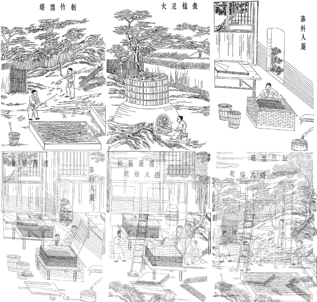
その時代の大部分において、西ヨーロッパは比較的重要性の低い半島の突端にすぎませんでした。紙、火薬、羅針盤、活字、印刷術は、記録に残る中国の長い歴史が生んだ成果として、よく語られるものの一部です。
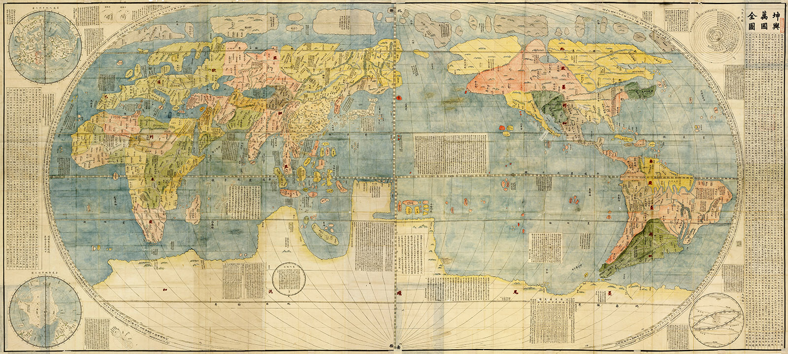
The Kūnyú Wànguó Quántú (坤舆万国全图), the earliest surviving Chinese world map in European style, is an excellent example of this shift in perspective. Drafted in 1602 by Matteo Ricci, a Jesuit missionary, it molds itself to Chinese expectations by showing the Middle Kingdom close to the, well, middle.
つまり、中国の地図は中国の現実を映しているのです。中国が中央付近に置かれているのは、国名を構成する文字が示すとおり、中国版の歴史の中心に中国がいるからです。
02 おーい!中国の領土への敏感さ
植民地支配や帝国崩壊の身をもっての経験、そして近隣諸国との数多くの国境紛争により、中華人民共和国(PRC)政府は領土保全の問題に非常に敏感になっています。この姿勢は現代の中国の地図作成にも表れています。
南シナ海
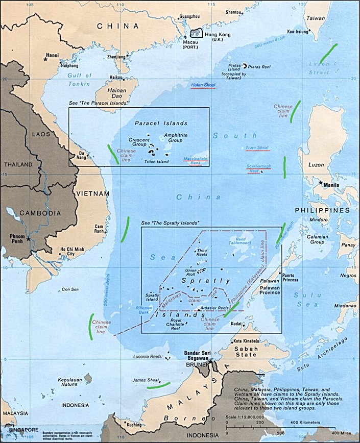
The controversies surrounding who owns what in the South China Sea (南海, Nán Hǎi) have an outsized influence on the appearance of modern Chinese maps. If the map you’re looking at is a made-in-China “real McCoy,” it will undoubtedly include China’s marine claims to the region.
ただし、領有権を主張しているのは中国だけではありません。ブルネイ、フィリピン、マレーシア、ベトナム、インドネシアなど、アジアの多くの国々も、南シナ海の一部をめぐって争っています。
China’s territorial claims are marked on its maps with the “ten-dash line,” still widely known as the nine-dash line (九段线, jiǔduàn xiàn). Official maps, such as the 2013 vertical map of China and the 2023 standard map, show ten dashes. Beijing has frequently sent naval vessels to face off against intruders on what it considers its territory.
中国はまた、自国の主権を主張する目的で、何千トンもの砂を海に注ぎ込み、人工島を造成してきました。ただし、主張を守るために思い切った手段をとる国は中国だけではありません。
フィリピンやベトナムなど、さまざまな国が自国の領域を強硬に守ってきたことで知られています。ただでさえ火種を抱えたこの状況に、さらに爆発的な要素が加わります。この海域には海賊組織が多く、その中には地域で活動する反政府勢力やテロ組織とつながるものもあるのです。
この土地は我が土地:尖閣諸島/釣魚島
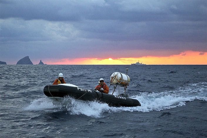
Two other points of geographical contention that help shape modern Chinese world maps are the Senkaku/Diaoyu Islands. Known as the Senkaku Islands in Japan and the Diaoyu Islands (钓鱼岛, Diàoyúdǎo) in China, these uninhabited islands have strained the China-Japan relationship since the early 1970s.
名称についてさえ基本的な合意がないことが、対立の根深さをうかがわせます。第二次世界大戦中の日本の行動に関する鮮明な記憶に加え、1960年代に海底油田が発見されたことが、この地政学的な火に酸素を送り込んできました。
日本の海上保安庁と中国の漁船との間で、命にかかわりかねない高速の「追いかけっこ」がますます頻繁に起きています。その結果、現代の中国の世界地図では、尖閣諸島/釣魚島は中国の不可分の領土として描かれています。
山々は生きている:中印国境地帯
The mountainous Sino-Indian border is another area where the average Chinese world map may differ substantially from those used elsewhere. The two major points of conflict are centered around 藏南 (Zàngnán), the area India administers as Arunachal Pradesh, and Aksai Chin (阿克赛钦).
In June 2020, this frozen conflict went molten hot for a frightening couple of days. Border patrols fought hand to hand in the Galwan Valley, a disputed corner of the Himalayas. India announced that 20 of its soldiers died, and in February 2021 China acknowledged four deaths on its side.
Googleマップやナショナル ジオグラフィックをはじめ、国際的な地図作成機関の多くは、双方の係争地に「破線」を引いて折衷する方法をとっています。もちろん、中国で作られる地図では、この地域は疑う余地のない中国の支配下として描かれています。

文化的背景とともに中国語を学ぶ
CLIは、生きた言葉と文化を軸にした、一人ひとりに合わせた中国語指導を提供しています。桂林でのイマージョンプログラムにご参加いただくか、無料中国語レッスンでオンラインから始めましょう。
03 中国神話における東西南北
“East or West, home is best,” goes the old saying, but in China each direction also has a story attached. The east, for example, belongs to the Azure Dragon and stands for the start of a new day.
In ancient China, each direction was also tied to a part of the sky and to one of the elements, so it said something about where people stood in nature and the cosmos.
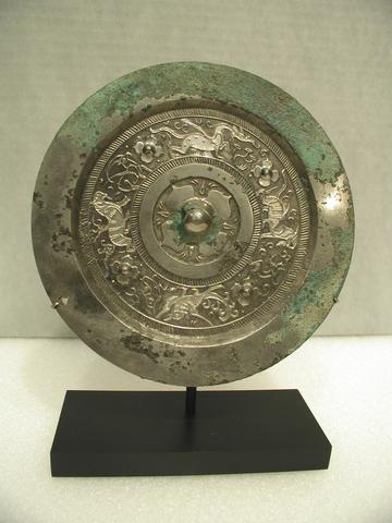
こうした象徴的な考え方は、建物の向きから風水の原則まで、中国文化のさまざまな場面に今も息づいています。四方はそれぞれ、季節と五行のひとつに結びついた天の神獣に守られています。
| 中国語 | ピンイン | 意味 | 方角 | 五行 | 季節 |
|---|---|---|---|---|---|
| 青龙 | 青龍 | 東 | 木(木) | 春 | |
| 朱雀 | 朱雀 | 南 | 火(火) | 夏 | |
| 白虎 | 白虎 | 西 | 金(金) | 秋 | |
| 玄武 | 玄武 | 北 | 水(水) | 冬 |
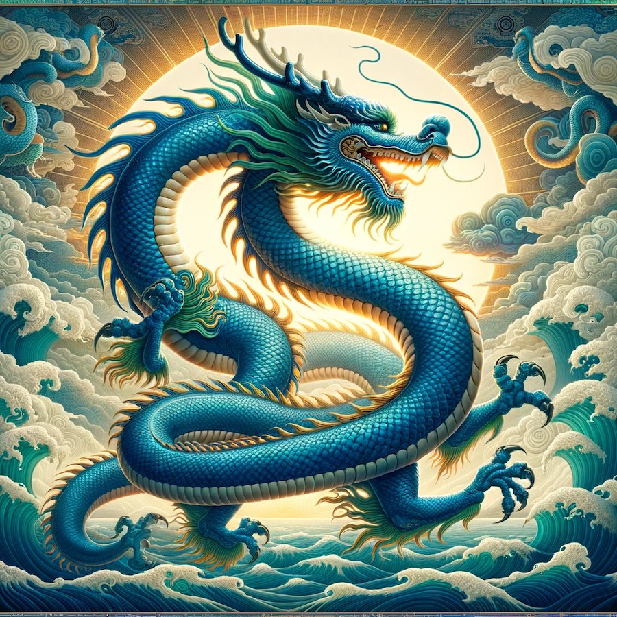
東:青龍(青龙、Qīng Lóng)
東に現れるのは、春を守る青龍です。数ある中国の龍の中でも特に有名なこの神獣は、再生と成長を象徴します。
The sun rises in the east, so the east stands for beginnings. It is associated with the wood element (木, mù), the element of spring and new growth.
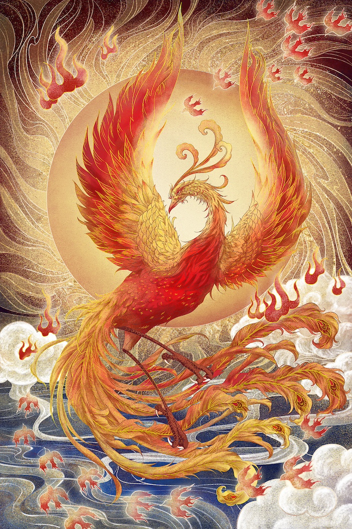
南:朱雀(朱雀、Zhū Què)
南へ向かうと、朱雀(鳳凰)が炎のような翼を広げています。夏を表すこの象徴は、変容と再生を意味します。
In most of China the midday sun sits in the southern sky, so the south is linked to summer heat and to the fire element (火, huǒ), which stands for energy and passion.
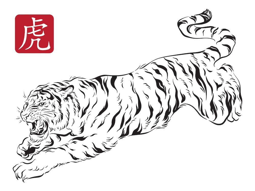
西:白虎(白虎、Bái Hǔ)
西へ向きを変えると、秋を守る白虎が堂々たる姿で迎えてくれます。この力強い獣は勇気と守護を表し、日が暮れて夜になるころ、魂を見守ります。
西は五行の金(金、jīn)に対応し、強さ、粘り強さ、そして揺るがない決意を表します。
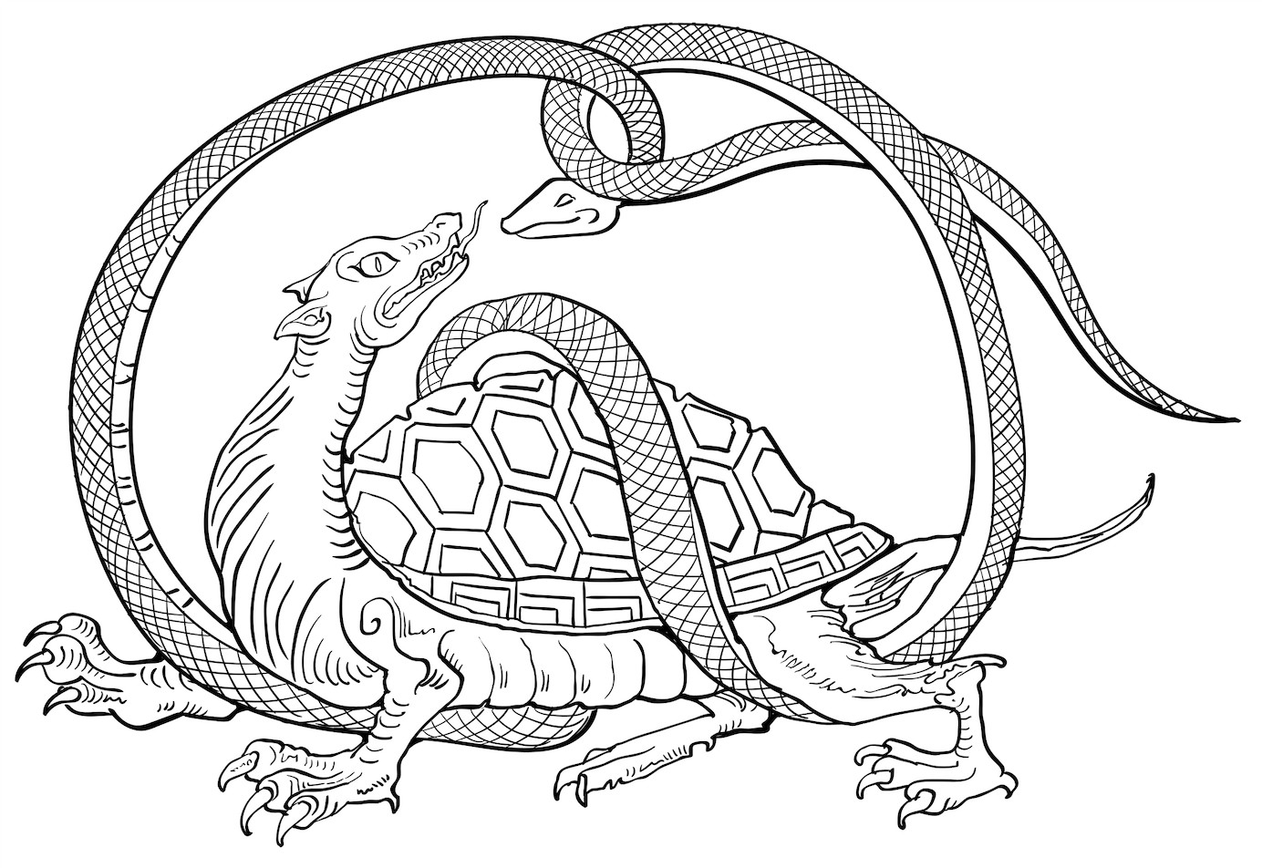
北:玄武(玄武、Xuán Wǔ)
最後に、北は玄武の領域です。玄武は蛇が巻きついた姿で描かれることが多く、冬を表すこの象徴は、知恵、長寿、安定を意味します。
北は五行の水(水、shuǐ)にあたり、適応力、深さ、そして人生の内省的な側面を表します。
04 Xの印が正確な場所とは限らない
中国の地図事情を理解するうえで最後に触れておきたいのが、GPSの精度、あるいは不正確さです。Googleマップのような GPSを使ったアプリで中国の地図を見るときは、期待するほど正確ではないかもしれないので注意してください。
私の庭から出ていけ!
Under the Surveying and Mapping Law of the People’s Republic of China, first passed in 1992 and revised in 2002 and 2017, foreigners and unregistered groups may not survey or map in China without approval. Since the 2017 revision, a foreign person or organization that breaks this rule can be fined up to 1 million yuan (around $140,000 USD).
この法律によると、こうしたデータ収集の規制は、収集される位置情報が「国家機密に触れたり、国家の安全を脅かしたりしない」ようにするためのものだとされています。目を疑うようなこの罰金額は、中国の公式通貨である人民元(RMB)で示されています。
Nor is this an idle legal threat. In 2009, the PRC government fined a group of UK geology students working in China for “illegal map-making,” and in 2013, mapping authorities in Yunnan province accused Coca-Cola of having “illegally collected classified information with handheld GPS equipment.”
マトリックスへようこそ:WGS-84とGCJ-02
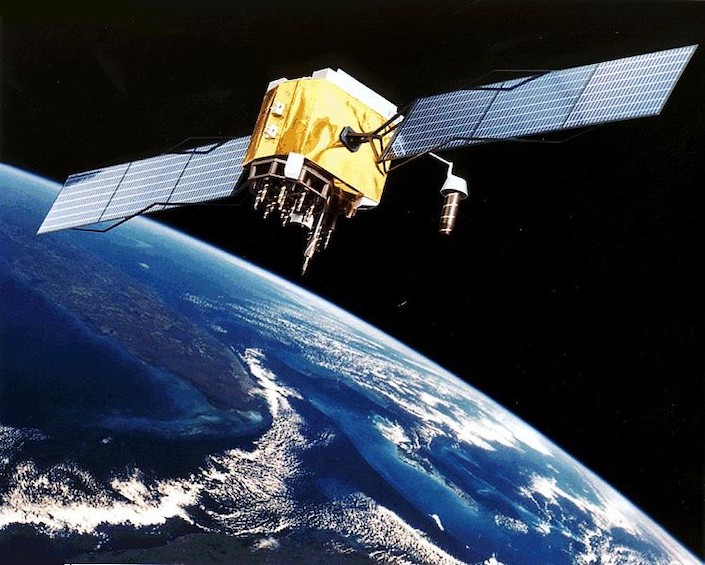
The strings of letters and numbers above are two coordinate systems, the grids that turn a place into latitude and longitude. GPS and most of the world use WGS-84, while maps published in China use GCJ-02.
Your phone’s GPS fix is just as accurate in China as anywhere else. The difference is in the map: before a map of China is published, its coordinates are run through an official formula that deliberately shifts them.
The shift changes from place to place, so you can’t fix it by sliding the whole map over. Put a raw GPS position on a GCJ-02 map (or the reverse) and it lands roughly 100 to 700 meters from where it should be, which is why apps have to convert between the two systems.
もしもし、Uberのドライバーです
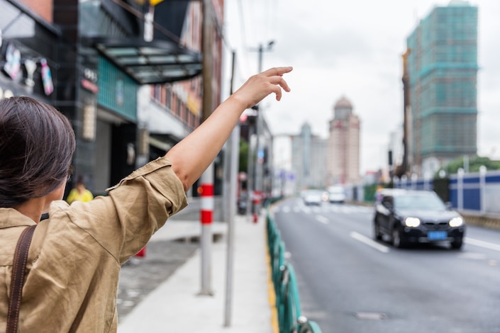
The mapping law and the shifted coordinate system have made Chinese maps hard to line up with GPS data from elsewhere. They have also caused challenges for ride-hailing and bike-sharing apps that rely on accurate coordinates.
The freely available, crowd-sourced coordinate data used by many smartphone applications sits offset on Chinese maps. Only map-making organizations registered with the Chinese government hold the official conversion and may publish maps, so foreign firms must collaborate with one of these organizations to get their apps off the ground.
05 あれ、ニワトリが見える?
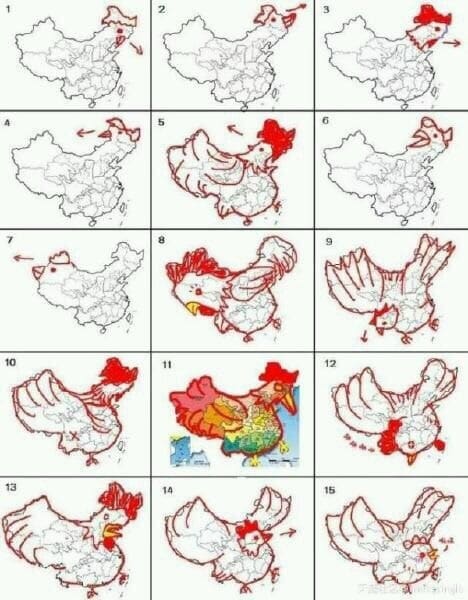
この波乱に満ちた地図の旅に最後までお付き合いいただいたご褒美に、地図にまつわるおまけの豆知識をどうぞ。中国の輪郭は、よくニワトリ(公鸡、gōngjī)の形に例えられます。
最初は意外に思えるかもしれませんが、事情に詳しい中国の人々や中国ウォッチャーの間ではよく知られた話です。この鳥は国のシンボルにふさわしく、酉年が中国の干支の中で今も最もよく知られた年のひとつであるのも偶然ではありません。
中国の地図を眺めてみれば、すぐに似ていることに気づくはずです。ただし、意見が一致するのはそこまで。頭がどこにあたるのかとなると、今も議論の的なのです。
06 中国語の地図に関する語彙
ニュースを読むときも友人とおしゃべりするときも、次の用語を知っておけば、中国語で地図や方角、領土について話せます。
| 中国語 | ピンイン | 意味 |
|---|---|---|
| 中国 | 中国。直訳すると「中央の国」 | |
| 地图 | 地図 | |
| 世界地图 | 世界地図 | |
| 南海 | 南シナ海 | |
| 九段线 | Nine-dash line (now drawn with ten dashes) | |
| 钓鱼岛 | 釣魚島(尖閣諸島) | |
| 边界 | 国境、境界 | |
| 公鸡 | 酉(とり) | |
| 东 | 東 | |
| 南 | 南 | |
| 西 | 西 | |
| 北 | 北 |
07 よくある質問
中国の世界地図では、なぜ中国が中央に置かれているのですか?
中国の国名である中国(Zhōngguó)は「中央の国」という意味です。欧米の地図がヨーロッパやアフリカを中心に据えがちなのと同じように、中国の地図もこの世界観を反映し、中国を中央付近に配置します。
What is the ten-dash line (nine-dash line)?
The ten-dash line, long known as the nine-dash line (九段线, jiǔduàn xiàn), is the boundary used on Chinese maps to mark China’s claims in the South China Sea. Official Chinese maps have shown ten dashes for decades; the 2013 vertical map and the 2023 standard map brought it wide attention. These claims are contested by several other countries in the region.
中国ではなぜGPSが不正確になることがあるのですか?
Your phone’s GPS works normally in China, but maps made in China use their own GCJ-02 coordinate system, which shifts every point by roughly 100 to 700 meters. An app that puts a raw GPS position (WGS-84) on a Chinese map without converting it shows you in the wrong place.
中国は本当に雄鶏の形をしているのですか?
中国ではそう言う人が多くいます。国の輪郭は一般に雄鶏(公鸡、gōngjī)に似ていると言われますが、どの部分が頭にあたるかについては意見が分かれています。
08 ようこそ中国へ!
A Chinese map shows the world from the middle outward, and its borders and dashes tell you where China’s claims stand today. Reading one well takes a bit of history and a bit of Chinese.
中国の地図について読むだけでなく、実際に訪れて迷い込んでみませんか。こうした視点を理解するには、中国で中国語を学び、文化を直接体験するのが一番です。
CLIでの学びの滞在は、文化、地図、言語にどっぷり浸れる一生に一度のチャンスです。ご安心ください。CLIセンターまで迷わず来られるよう、正確な道順をご案内します。桂林でお会いできるのを楽しみにしています!